| |
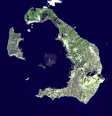
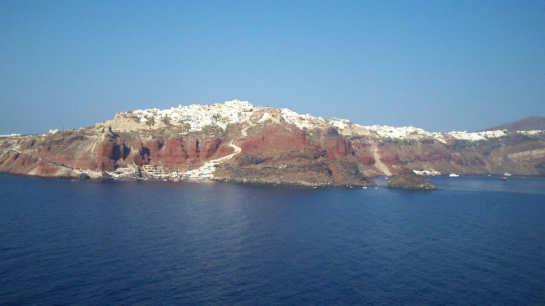
The majestic cliffs of
Santorini, once called Thera, the volcanic island that blew itself
apart.
The map above shows the parts of the island that remain. The rest of
what used to be an almost perfectly round island
was pulverized in
one of the world's
largest known eruptions 3,600 years ago,
destryoing the Minoan
civilization at its height.
For a very cool 3D graphic of the island,
click
here (then use your Back arrow to return). |
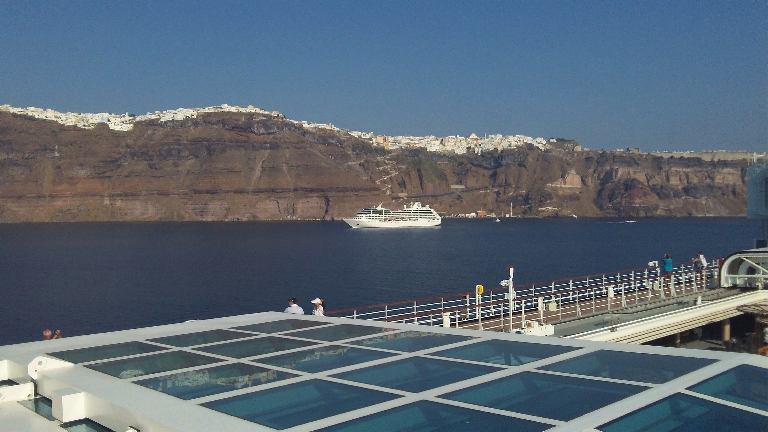
The main town of
Fira at the crest of the
caldera. |
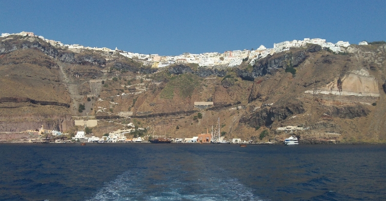
Looking south, the
curve of the volcanic cliffs continues. |
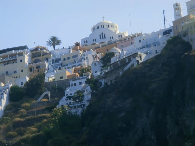
Fira Chruch at top
of cliff |
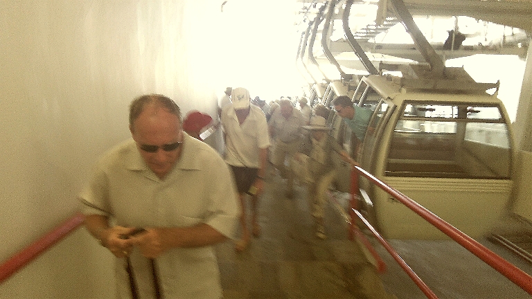
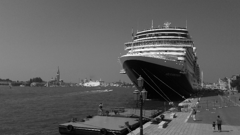
Arriving tourists have a choice of either
the cable car (pictured here), or riding a donkey
up the steep, slippery
and smelly, zig-zag path seen two photos above. |
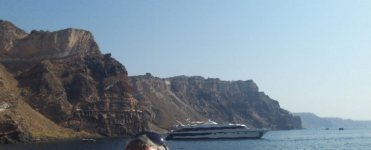
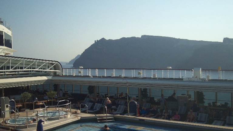
The "rock pile" behind the ship
is actually lava, fairly recent, because the volcano is still active, most
recently in 1939-41 and 1950. In 1950, an explosion blew the acid rock plug to
the southern foot of the dome, opening a vent for the new magma which began to
pour out. This was punctuated by intense explosive activity which spewed tephra
1000 meters into the air, and dropped lava fragments within a range of 850
meters all around. |
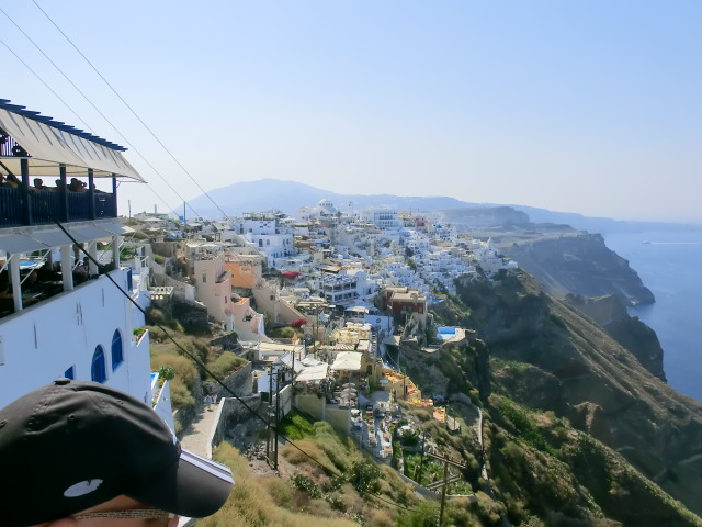
View to the south over Fiira |
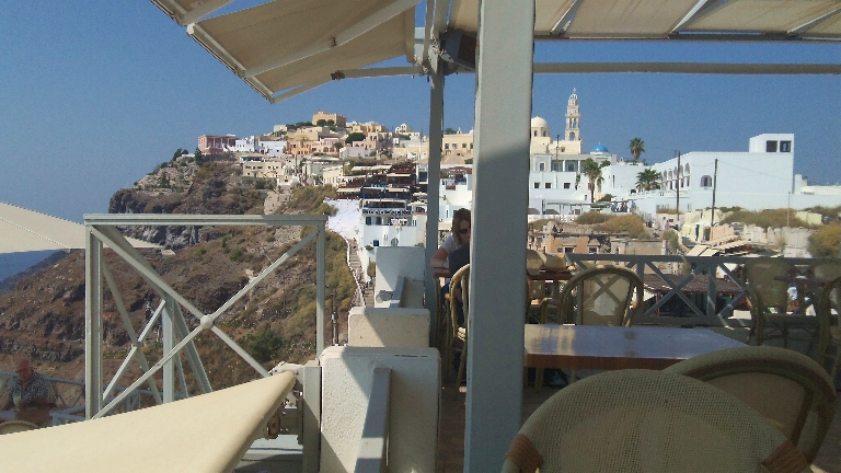
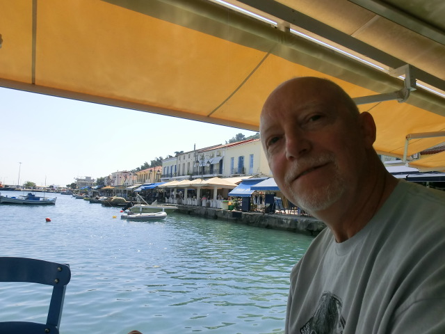
The main town of Fira, seen
from our lunch restaurant. |
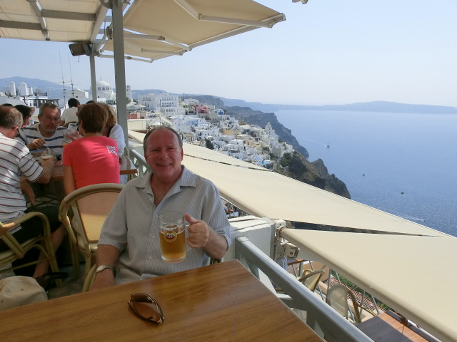
Boden at lunch
restaurant |
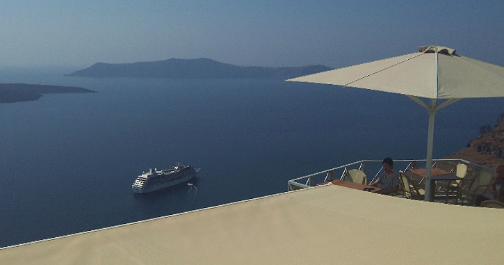
Another view
from the restaurant. |
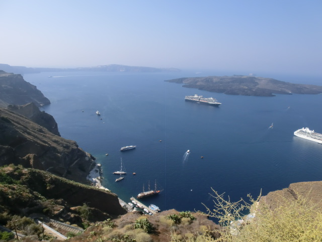
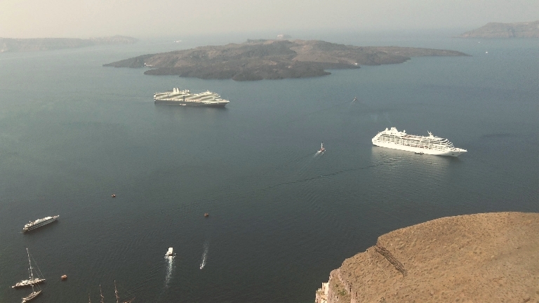
Ships from top of cable car
line |
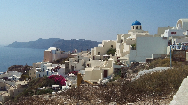
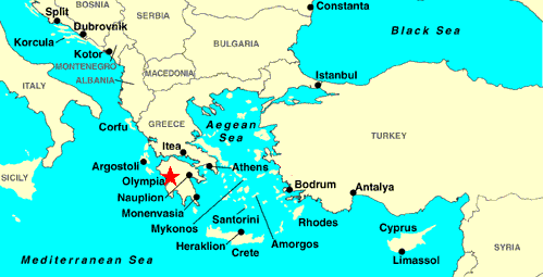
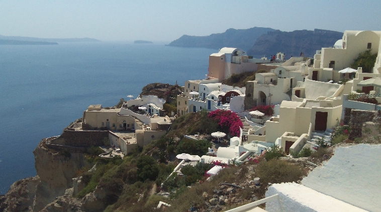
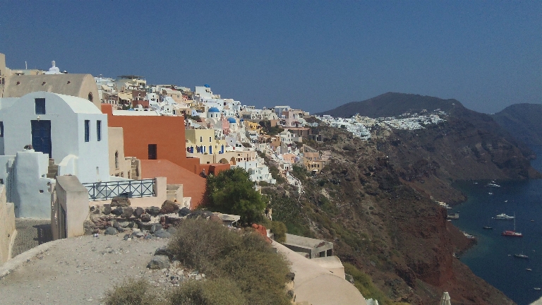
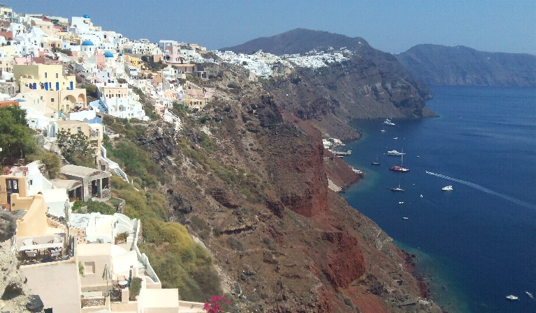
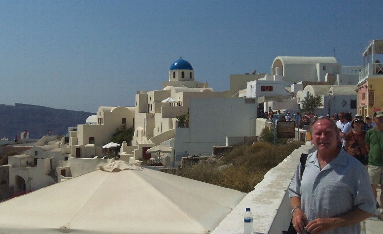
This and all the remaining photos are of
Oia, the picturesque
village at the north end of the island,
about a 15-20 minute drive from
Fira. |
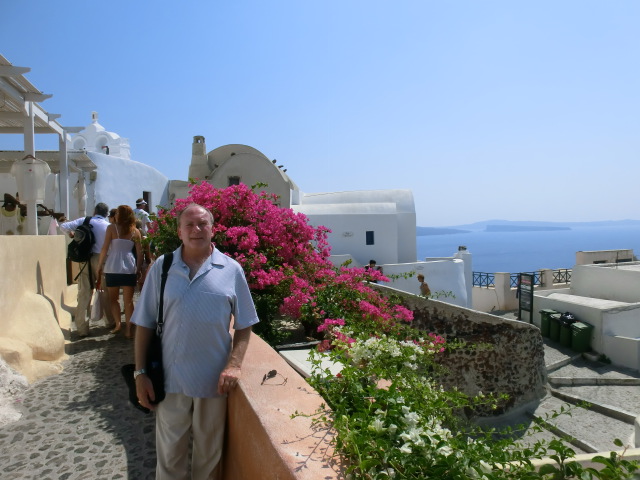
Boden and
bougainvillea in Oia |
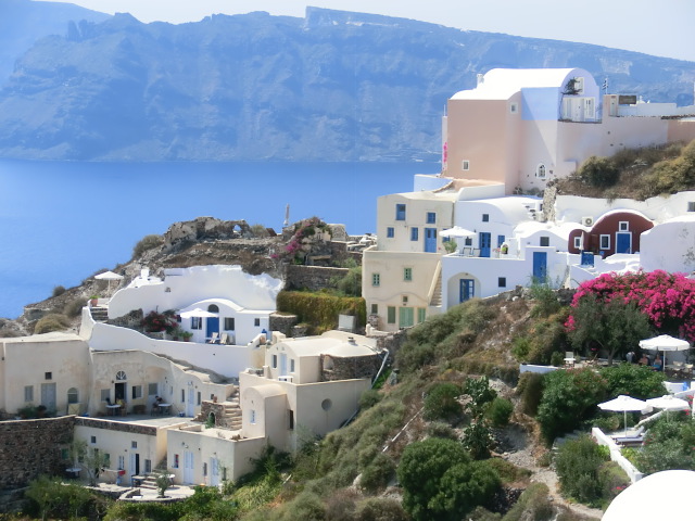
Oia - close-up of buildings |
|